Upper Missouri Waterkeeper
Upper Missouri Waterkeeper
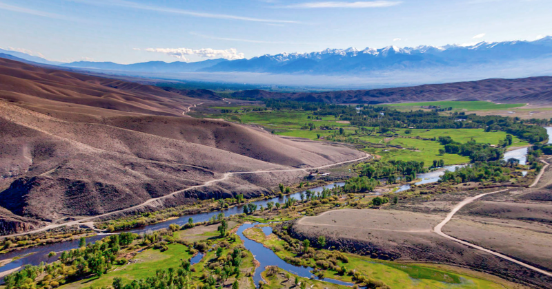
Upper Missouri Waterkeeper (UMW) is undertaking a GIS based scientific study in the upper reaches of the Gallatin River in southwest Montana. The combined effects of a warming climate and ongoing development in and around the resort community of Big Sky have caused the Montana Department of Environmental Quality to designate the mainstem Gallatin as formally “impaired”, due to severe algae blooms during the summer and the inability to sustainably support aquatic life.
The Montana DEQ admitted in its preliminary determination that poor water quality and biological conditions caused by recurrent nuisance algal blooms have begun to affect macroinvertebrate community prevalence and health, representing negative changes to the river's ability to support its trophy trout populations.
The study seeks to develop the necessary best available science qualifying and quantifying the impact of widespread land use transformation across the Big Sky resort area on local waterways and fisheries. The anticipated scientific research includes GIS and LIDAR projects mapping the Big Sky region and local land use patterns; stormwater modeling based upon precipitation and land use types; and water quality data modeling and analysis to connect the dots between particular land uses and the demonstrated impacts on stream and fishery chemical and biological metrics. The study seeks in the end to develop best available science that will guide future growth and water resource planning in and around Big Sky.
Learn more about UMW and their work on the Gallatin River here.


